Our favourite walks on Rousay, Egilsay and Wyre, with ten Rousay archaeological sites and three eBird hotspots on the same map. Each line or marker opens more about that place.
The map brings together thirteen walks on Rousay, Egilsay and Wyre, ten Rousay archaeological sites and three eBird hotspots. Select a line or marker for details and its guide. Walking lines are planning overviews, with gaps explained in the route notes; use local signs and waymarkers on the ground.
Each line or marker opens details and a link to its guide. Blue lines show mapped paths; the walk descriptions explain any gaps. Grouped markers open to show the places inside.
These are our thirteen favourite walks on Rousay, Egilsay and Wyre, from a short beach stroll to a day on the hills. W1–W13 on the map match the descriptions below. Distances are approximate and start at each walk, not at the cottages.
The blue lines show mapped paths. Where a line doesn’t cover the whole walk, the notes explain the gaps. Egilsay and Wyre both have daily ferries and are easy half-day trips from the farm.
W1Sacquoy HeadRousay · 6.4 km return
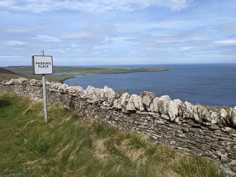
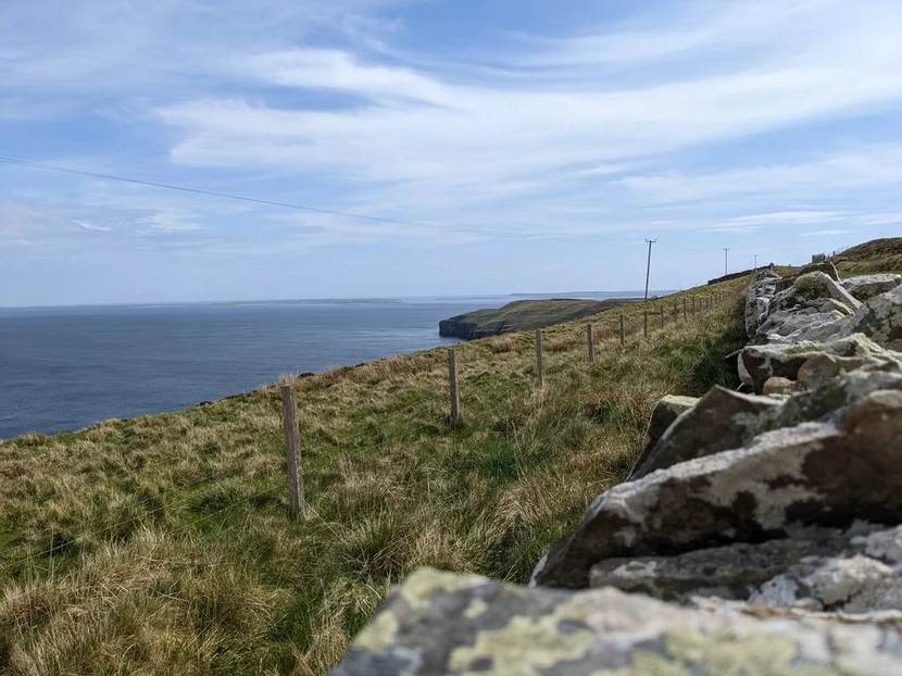
Rousay’s north-west coast has open sea views, rock arches and seabirds in summer. Sacquoy Head is one of our favourite walks for a wilder stretch of the island.
Underfoot: Exposed coastal heath and grassland, with uneven ground and cliffs.
The walk follows the coastal route during the summer nesting season, when Arctic skuas are present.
On the map: W1 marks the start. The blue lines show the council’s coastal path sections, with the return along the same route.
Saviskaill Bay is wonderful for a beach stroll or a sit by the sea, with seals and coastal birds to watch for. It’s near Loch of Wasbister, with parking at the beach. Wild swimming is popular here too.
Underfoot: Beach and shore, with conditions changing with the tide.
There is no fixed walking distance.
Saviskaill Bay from a distance, with the areas of walks 1 and 2 in the leaflet visible beyond.
On the map: W2 marks the beach. There’s no set route for this stroll, so no line is drawn.
This walk heads inland through heather to the remote Loch of Loomachun. It’s all open hills and wide views, quite different from the coast.
Underfoot: Waymarked moorland, with rough and often wet ground.
Red-throated divers breed here. From May to August, the walk ends at the signed viewpoint short of the loch, with the return along the same waymarked route.
On the map: The approach track and hill path are mapped from OpenStreetMap. On-site signs mark the seasonal stopping point near the loch.
Faraclett Head has views towards Westray and the North Isles, with wildflowers and seabirds along the way. The path crosses fields and heather slopes, passing ancient remains.
Underfoot: Rough, sometimes wet hill paths and coastal grassland. Exposed, with steep slopes and overhanging cliffs.
This waymarked route is approximately 3.5 km. Orkney.com describes a 3.8 km version including a detour to the Yetnasteen standing stone.
Faraclett Head in the distance.
On the map: Blue shows the council’s headland path, with the W4 start marker beside the parking area. The approach and standing-stone detour are not included in this line.
W5Heart of Rousay BoardwalkRousay · Short boardwalk
The boardwalk runs through cotton grass and heather on Kingarly Hill. There are places to sit, with views towards St Magnus Church on Egilsay and the North Isles.
Underfoot: Purpose-built boardwalk. The Development Trust describes it as wheelchair-friendly, with parking beside the community turbine.
The boardwalk is dedicated to Eleanor Barr, the community ranger who helped create it. It’s a lovely short outing for island views.
On the map: W5 marks the community turbine beside the boardwalk, not the exact entrance. We haven’t verified the boardwalk’s route, so it isn’t drawn on the map.
A short moorland circuit with views over Egilsay and Wyre. The marker posts lead past Cubbie Roo’s Burden, a mound said to come from a giant’s attempt to build a bridge between the islands.
Underfoot: Waymarked moorland and rough paths.
At 2 km, this is one of the shorter hill walks, with open views and a good bit of island folklore.
On the map: The council’s Avelshay circuit is shown in blue, with the W6 marker at the walk’s start. Local signs mark the short approach to the circuit.
W7Trumland Nature ReserveRousay · 3.3 km or 6.6 km circular
Trumland has a shorter reserve walk and a longer route towards Blotchnie Fiold, Rousay’s highest point. There’s heather moorland, wide hill views and a chance of hen harriers or short-eared owls.
Underfoot: Rough, unsurfaced paths, wet in places, with steep sections on the hills.
There’s a 3.3 km circuit and a longer 6.6 km walk, marked by white-topped posts. Orkney.com also describes a different 7.4 km circuit starting at the ferry pier.
There’s no car park at the reserve. RSPB gives the nearest parking as the pier, around 1.2 km from the entrance. Dogs need short leads from 1 April to 15 August and around livestock.
On the map: W7 marks the reserve entrance. The blue lines show the connected council paths rather than two separate, measured circuits. Signs in the reserve identify the shorter and longer walks.
A short, steep climb through heather leads to the Neolithic cairn at Yarso. There are views over Frotoft and across to Orkney Mainland, as well as the stone chamber itself.
Underfoot: Short but steep uphill path, uneven and potentially muddy.
The walk returns down the same path. Our Yarso guide has the cairn’s history and visitor details.
On the map: The council’s path from the roadside towards the cairn is shown. W8 is the walk start; the separate archaeology marker identifies the monument.
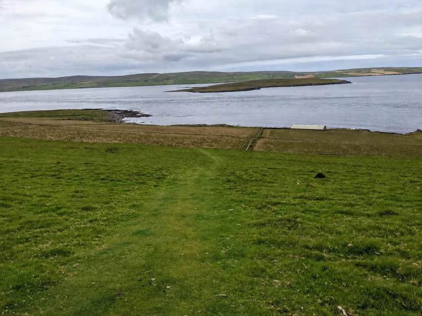
This quiet path follows the burn uphill above Eynhallow Sound. As you climb, there are views back to the uninhabited island of Eynhallow and Orkney Mainland.
Underfoot: An uphill, unsurfaced path beside a burn, with wet or muddy patches.
A short walk with broad views, returning by the same path.
On the map: The blue line follows The Burn Path, recorded as Frotoft in the council’s core-path data.
An old peat track leads to Muckle Water, Rousay’s largest loch. It’s a quiet inland walk, with views back towards Evie and Eynhallow.
Underfoot: Rough peat track and moorland, which can be wet underfoot.
Red-throated divers breed around the loch. The walk returns along the same track.
On the map: The peat track is shown using OpenStreetMap’s alignment. W10 marks its roadside starting area; local signs mark the stopping point near nesting birds.
There’s a lot of history on this short stretch of the Westness coast: Midhowe’s Neolithic cairn and Iron Age broch, The Wirk, St Mary’s Church and the remains of Skaill farmstead.
Underfoot: A steep descent from the road, followed by uneven coastal and agricultural ground, with an uphill return.
The signed route starts at the Midhowe roadside car park and does not go through Westness Farm. Visitor information is available for the individual monuments.
The path down to Midhowe Cairn on the Midhowe Heritage Walk (walk 11), with Eynhallow in the distance.
On the map: The blue lines show the council’s approach path and coastal route towards Skaill. Short detours to the monuments aren’t drawn. Each archaeology marker links to its own guide.
Egilsay has quiet lanes, wildlife and plenty of history. The shorter walk visits St Magnus Church and the cenotaph. The longer one crosses the RSPB reserve towards the eastern shore.
Underfoot: Quiet roads and tracks, with rougher ground towards the shore.
Daily ferries make Egilsay an easy half-day trip from the farm. There are wildflowers to see and curlews, lapwings and skylarks to listen for.
Orkney.com describes a longer 5.9 km combined walk, an alternative to the 2.3 km and 3.7 km return walks described here.
On the map: W12 marks the ferry pier. The blue lines show the shared road, the branch to the church and the path to the east shore. They don’t cover the whole connection to the pier or the short detour to the cenotaph.
From Wyre’s pier, the walk leads to Cubbie Roo’s Castle and nearby St Mary’s Chapel. The longer route carries on towards Cavit and the shore, with coastal views alongside the island’s Norse remains.
Underfoot: Quiet lanes and tracks, with uneven ground around the historic sites and shore.
Daily ferries make Wyre an easy half-day outing from the farm. There are coastal birds and seals to watch for along the way.
On the map: The blue lines show the council’s pier road, the branch to the castle and the path towards the south shore. Some short links between those sections follow local paths and aren’t drawn.
These ten sites all appear on the Ness of Brodgar Project’s website. Our guides use its articles, heritage records and visitor information, with links to the sources. There’s much more archaeology on Rousay than this selection can cover.
Some still have standing walls; others are back under the turf or show only a few stones. Each guide has a few historical highlights and links for further reading.
For a guided day out, we recommend Rousay Tours. Their full-day tours cover the island’s history in depth and explain the sites as you go.
A long burial chamber divided into twelve compartments by upright stone slabs. A protective building and raised walkways give a clear view of the cairn on Rousay’s south-west coast. Our guide covers the site and its excavation.
An Iron Age tower and settlement beside the much older chambered cairn. The two monuments are close enough to visit together, though they were built thousands of years apart.
Two chambers, one above the other, and a smaller third chamber downhill. Ness of Brodgar’s articles cover the cairn’s discovery and excavation, including the confirmation of the upper chamber in 1937.
Slanting stones form triangular patterns in Blackhammer’s outer walls. Even the stones used to seal the entrance continued the pattern. The Ness article explains this careful stonework.
Yarso shares the hillside with Lairo and Ramsay. Excavators found human remains carefully arranged inside its chamber. Ness of Brodgar discusses those finds in its Lairo article.
A coastal excavation where archaeologists are recording remains before the sea erodes them. Ness of Brodgar shares a Time Team film about the work and discoveries at Swandro.
Stone homes, hearths and drains from a Neolithic settlement between Bigland and Faraclett Head. Rinyo was discovered in 1937–38, and the Ness article describes what excavators found.
Little visible today: Rinyo was covered over after excavation ended in 1946. The published records show much more than is visible on the ground.
Lairo overlooks Eynhallow Sound. Extra walls made its chamber much narrower, and archaeologists are still debating why. The Ness article sets out the different explanations.
Ramsay had a long chamber divided into fourteen compartments. It was already damaged by stone removal when excavated in 1935. The Midhowe article includes an account of those excavations.
Part of this Neolithic cairn on the south-west shore appears to have been reused as an Iron Age earth-house. The Ness article looks at the evidence for that change.
Few remains visible: the article describes an unmaintained mound with just a few stones showing through rough grass.
Site selection and source links checked . Archaeological summaries by Stay Rousay, based on the linked Ness of Brodgar Project articles.
EXPLORE THE ISLANDS
More about the islands.
Blue markers lead to our favourite walks. Round numbered markers link to archaeology guides, and green eBird markers open bird records. Other place names and symbols come from OpenStreetMap.
The archaeology and bird pins mark the places themselves, not necessarily their entrances. The walk descriptions explain the routes and any gaps in the lines.
YOUR ISLAND BASE
Our cottages on Rousay.
Our two sea-view cottages are on our working farm on Rousay. There’s plenty to see nearby, and somewhere comfortable to come back to after a day out.